Flooding and Stormwater
Pinellas County is here to help you prepare your home for a potential flood and help you know what to do during and after a flood occurs.
 Featured Government Office
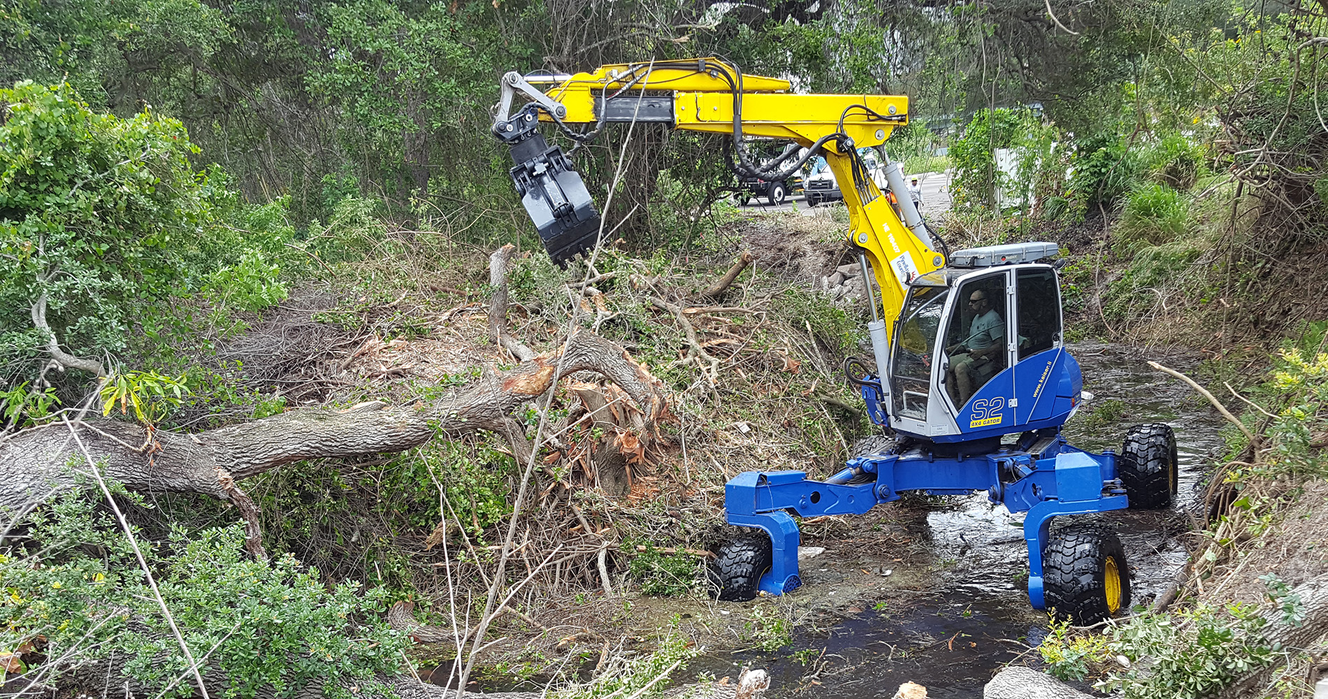
Stormwater & Vegetation Division
Stormwater and Vegetation, a division of Public Works, operates and maintains the county's stormwater infrastructure, maintains right-of-ways, easements and other lands through the practice of urban forestry, landscape services, and vegetation management. The division also provides countywide mosquito control for public health protection, is responsible for watershed management and surface water quality as well as the administration of the county's floodplain management program.
Learn MoreInfo & Resources
Lake Shore Estates Road and Drainage Public Meeting Notice Spanish
Spanish version of a notice announcing a public meeting on the Lake Shore Estates Road and Drainage Improvements project....
Lakeshore Estates Road and Drainage Public Meeting Notice English
Announcement highlighting a March 2018 public meeting notice on the Lakeshore Estates Road and Drainage Improvements project....
Lakeshore Estates Road and Drainage Project Public Meeting Presentation
Presentation highlighting a March 2018 public information meeting on the Lakeshore Estates Roadway and Drainage Improvements project....
Lake Shore Estates Roadway and Drainage Project Plans
Full plans detailing the Lake Shore Estates Roadway and Drainage Improvements Project with diagrams and project details for each road....
Lake Shore Estates Roadway and Drainage Phase II Plans
Plans detailing Phase II of the roadway and drainage improvements for Lakeshore Estates in Palm Harbor....
Know the Flood Risk Before Buying or Building Brochure En Español
Spanish version of brochure outlining the flooding risks to help residents understand flood maps before buying or building a home....
Know the Flood Risk Before Buying or Building Brochure
Brochure highlighting the flooding risks to help residents understand flood maps before buying or building a home....
Flood Risk and Mitigation Public Info Working Group Meeting Minutes Sep 2019
Meeting minutes highlighting the Flood Risk and Mitigation Public Information Working Group's Sept. 19, 2019 meeting....
Flood Risk and Mitigation Public Info Working Group Meeting Minutes Oct 2020
Minutes detailing Flood Risk and Mitigation Public Information Working Group for October 16, 2020 meeting....
Flood Risk and Mitigation Public Info Working Group Meeting Minutes May 2020
Meeting minutes describing the Flood Risk and Mitigation Public Information Working Group's May 29, 2020 meeting. ...