Flood Mitigation Action Plan
Project Location
Multiple, see map
Project Status
Study: In progress
Overview
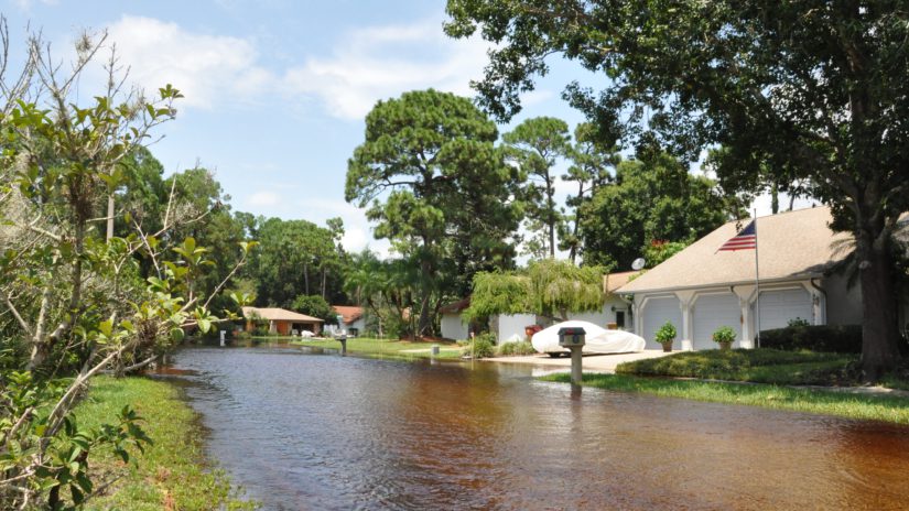
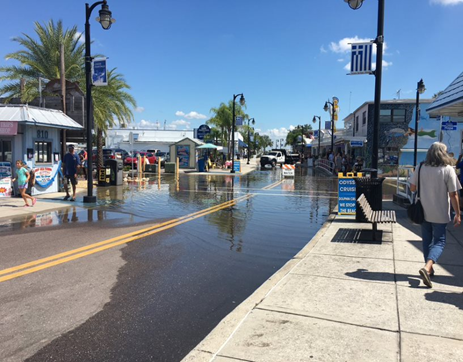
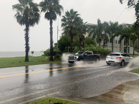
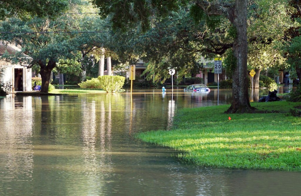
Pinellas County is developing a countywide Flood Mitigation Action Plan (FMAP) to make the county more resilient to the increasing impacts of flooding. This project will collect more precise data to help County staff better understand our flood risks as a region and develop strategies to reduce and adapt to these risks.
Program staff will incorporate feedback from Pinellas County communities, including residents, municipalities, and business owners, into the strategies developed. The data collected will also be used to educate residents about local flood risks and flood insurance.
The project is funded by a $992,000 grant from the Florida Department of Economic Opportunity through the federal Department of Housing and Urban Development CDBG-Mitigation program.
Areas of Focus
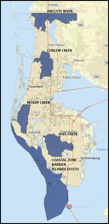
The study will focus on five primary watersheds, or areas of land that drain or “shed” water into specific bodies of water, such as a rivers, bays or the ocean. These five watersheds are all in low-to-moderate income areas of the county. They include:
- Anclote River
- Curlew Creek
- McKay Creek
- Joe’s Creek
- Southern Barrier Islands
Community Input
Collaboration and community input are key aspects of the FMAP project. Program staff have encouraged feedback from city officials, residents, community organizations and local businesses from the early planning stages of the project to ensure they incorporate local needs and concerns into the County’s flood strategies. The project aims to accommodate input from as broad of an audience as possible in the impacted communities.
Data Development
The FMAP will develop the following data:
- Groundwater and precipitation data based on multiple scenarios, timeframes and tidal events, such as unusually high tides.
- This data will help give us a complete understanding of modern flood risks, including sea level rise and storm surge, as well as current rainfall patterns and groundwater tables, all of which evolve over time.
- Collection of updated 360-degree, street-level imagery through LiDAR, or Light Detection and Ranging, to help determine elevations and flood risks in areas of interest.
- LiDAR uses lasers to measure distances to generate precise, three-dimensional information about surface characteristics of the Earth, including the built and natural environments.
- Future flood risk modeling based on up to six scenarios.
- This modeling assesses flood risk based on the latest scientific projections for sea level changes and extreme storms.
End Goals
The final stages of the plan will include:
- A cost-benefit analysis and Implementation Roadmap identifying key projects and strategies to reduce and adapt to flood risks, including timeframes, cost-effective financing options, as well as guidelines for planning improvements.
- A countywide Flood Mitigation Action Plan summarizing the entire project and its findings.
- Proposal of a resolution to incorporate the new plan into local policy and/or procedures.
Public Comments and Concerns
In accordance with federal regulations and in the interest of ensuring that the public is afforded ample opportunities to register concerns and to provide feedback, the following contacts are in place to support this project:
- Fair Housing in Pinellas County
- Pinellas County Fair Housing Coordinator: Betina Baron, accommodations@pinellas.gov
- Florida Dept. of Commerce Fair Housing complaints: cms@floridacommerce.myflorida.com
- Pinellas County Office of Human Rights
Pinellas County Sheriff’s Office Policies: The Pinellas County Sheriff’s Office policies are not accessible to view on their website. However, any interested person may request a copy of the Excessive Force Policies by submitting a “Public Records Request” through their website. You may access the site by clicking on the link: pcsoweb.com. On top of the Page, please go to “Records Request”. Click on “Records Request” tab where there is an explanation on how to submit a Records Request and request any document you would like to review, including policies. Please contact the following if you have any issues with the website access:
Public Records Processing Unit
Pinellas County Sheriff’s Office
Policy Development & Accreditation
Pinellas County Sheriff’s Office
10750 Ulmerton Road
Largo, FL 33778
(727) 582-5729
prr@pcsonet.com
Contact Us
Do you have input on the Flood Mitigation Action Plan (FMAP)? Contact:
Sue Leverette, FMAP Project Manager
sleverette@pinellas.gov
(727) 464-4769
Learn More
Follow Pinellas County Government on Facebook, X, and Instagram for #FloodplainFriday and other flood- and emergency management-related tips.