Parks, Recreation, Culture & Travel
Pinellas County is home to more than 20,000 acres of parks and preserves and hosts countless arts and cultural opportunities. Take a walk or bike ride on the Pinellas Trail to see murals and other points of interest. Visit arts festivals, hike in the wilderness or enjoy the beach. The opportunities are endless!
County Parks & Preserves
Whether on the beach, at a lake, or in the wilderness, enjoy some time with nature at a County park. Visit our Parks and Preserves page for a listing, map, and amenities finder for all County parks.
Learn MoreNews
- News March 24, 2026 Heritage Village marks 50 Years with historic designation
- News February 17, 2026 Lifeguards needed for 2026 beach season
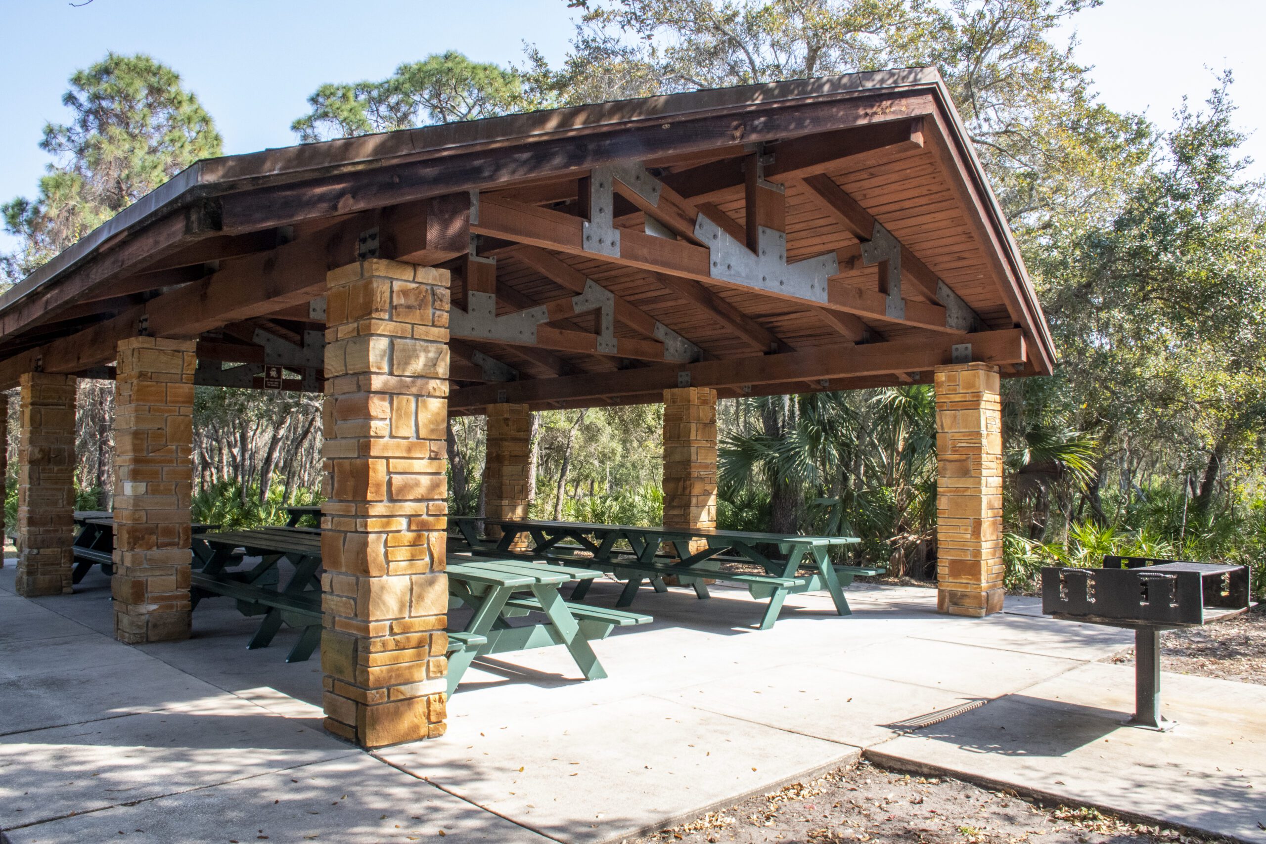
- News February 7, 2026 County opens improved Raymond H. Neri Park in Lealman
- News February 5, 2026 Pinellas County University begins new sessions March 4
- News January 9, 2026 County icon Fred E. Marquis passes away peacefully
Events
View All EventsHeritage Village 50th Anniversary: From Dedication to Designation
Join Pinellas County for a milestone 50th Anniversary celebration! The community is invited to witness the historic transition of the Plant–Sumner House…
Programs
View All ProgramsBaskets for Beaches
The Baskets for Beaches program enables you to make a difference by collecting trash as you walk the beach. Grab a basket…
Adopt-A-Park
The Adopt-A-Park program is great for businesses or civic groups looking to give back to their community. Pinellas County Parks & Conservation…
Pinellas Trail Adopt-A-Mile Program
Brochure outlining the Pinellas Trail Adopt-A-Mile Program, a cooperative partnership between the public/private sector and Pinellas County.
St. Pete-Clearwater Airport
St. Pete-Clearwater International Airport (PIE) is a commercial service airport with non-stop air service to 65 destinations and is a quick drive to......
John Chesnut Sr. Park
John Chesnut Sr. Park is 255 acres of multiple nature trails that sits adjacent to Lake Tarpon in Palm Harbor. Lake Tarpon......
Boca Ciega Millennium Park
Boca Ciega Millennium Park is 186 acres in Seminole and is accessible to the Pinellas Trail. This park provides an observation tower......
Eagle Lake Park
Eagle Lake Park is 162 acres set in the heart of Largo. This park provides a wetlands section that has been restored......
War Veterans’ Memorial Park
War Veterans’ Memorial Park is 112 acres in St. Petersburg. The focal point of this park is a landscaped Memorial Center featuring......
A.L. Anderson Park
A.L. Anderson Park is 135 acres nestled off U.S. 19 in Tarpon Springs. This park provides wooded areas for exploring, cypress trees......
Master Gardeners receive UF/IFAS Extension Award of Excellence
UF/IFAS Extension awarded Pinellas County Master Gardeners the 2021 Award of Excellence for Beautification and Enhancement in recognition of their volunteer garden......
Fort De Soto Park
Fort De Soto park offers a wealth of bird life, sea life, wildlife and plant life across five interconnected islands. Swim, fish, visit the dog park or the museum. There's plenty to do!...
Parking Permit Application
Copy of application for beach and/or boat ramp parking permit. ...
Apply for a Primitive Youth Camping Permit
This permit application should be in the possession of the person in charge of the group on the day of occupancy. It......