Parks and Preserves
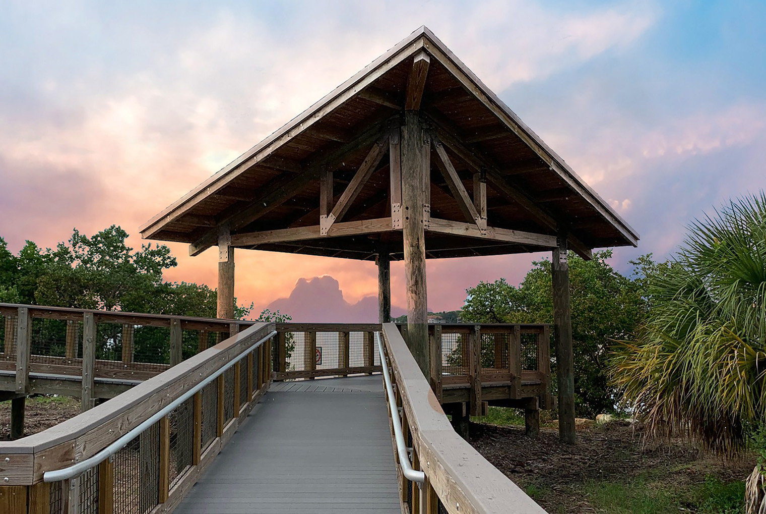
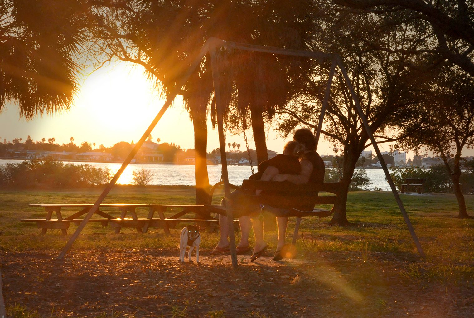
Pinellas County is home to over 20,000 acres of parks and preserves where residents and visitors can picnic, camp, hike, boat and more.

County Parks & Preserves
Looking for a park with a beach? A dog park? A boat ramp? Use the interactive map on our County Parks page to locate a park with the amenities you want.
Learn More
War Veterans’ Memorial Park
War Veterans’ Memorial Park is 112 acres in St. Petersburg. The focal point of this park is a landscaped Memorial Center featuring…
Learn MoreInformation & Resources
Parks & Preserves Frequently Asked Questions
Frequently Asked Questions about Pinellas County Parks and Preserves, including information about pets, events and specific park information.
Park Amenities
Parks & Conservation Resources maintains 20,000 acres of parks that include the county’s most beautiful examples of pristine Florida landscapes. Located throughout…
Park Rules
Pinellas County Code of Ordinances, Chapter 90 Please help us keep Pinellas County parks safe, clean and fun for all to enjoy. Most…
Managed Areas
Parks & Conservation Resources manages the County’s environmentally sensitive lands using resource management practices that promote the quality of native ecosystems. Management…
Programs
View All ProgramsBaskets for Beaches
The Baskets for Beaches program enables you to make a difference by collecting trash as you walk the beach. Grab a basket…
Adopt-A-Park
The Adopt-A-Park program is great for businesses or civic groups looking to give back to their community. Pinellas County Parks & Conservation…
Pinellas Trail Adopt-A-Mile Program
Brochure outlining the Pinellas Trail Adopt-A-Mile Program, a cooperative partnership between the public/private sector and Pinellas County.
Clearwater Harbor and St. Joseph Sound Recreational Aspects Of The Area
Presentation showcasing the recreational opportunities in the Clearwater Harbor and St. Joseph Sound area, including Travatine Island, Honeymoon Island and Anclote Key....
Lake Tarpon Management Area map
Map depicting the property that Pinellas County owns in the Lake Tarpon Management Area....
Lake Tarpon West Management Area map
Map showing the land Pinellas County owns in the Lake Tarpon West Management Area near Lake Tarpon....
Long Branch Management Area map
Map showing the property Pinellas County owns in the Long Branch Management Area in Largo....
Mariner’s Point Management Area map
Map showing the property Pinellas County owns in the Mariner's Point Management Area in South Tarpon Springs....
Travatine Island Management Area Map
Map showing what land is owned by Pinellas County in the Travatine Island Land Management Area near Seminole....
Wall Springs Park Map
Map of Wall Springs Park in Palm Harbor detailing trails, historic points of interest, the observation tower, pier and other facilities....
Walsingham Park Map
Map of Walsingham Park detailing the park's amenities such as the boat ramp, dog park, fishing, trails, pier, playgrounds and other necessary facilities....
Walsingham Park Trail Map
Map depicting the park trails and the trail distances at Walsingham Park in Largo....
War Veterans’ Memorial Park Map
Map showing the War Veterans' Memorial Park canoe launches, nature trails, boat ramps, historical points of interest and other park facilities....