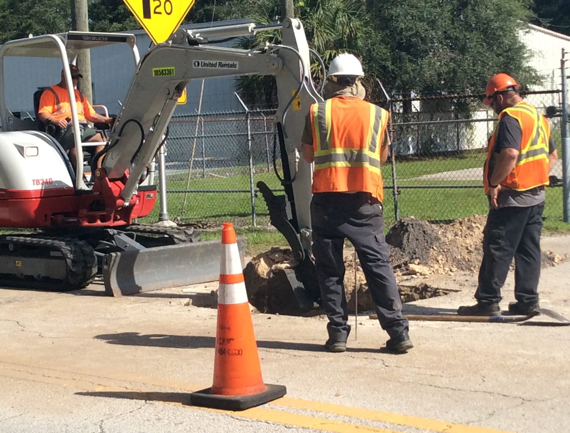
Transportation
Pinellas County’s Intelligent Transportation System integrates a network of smart technology and devices to enhance mobility for all road users and improve traffic flow.
 Featured Government Office
Public Works Department
The Public Works Department manages environmental, stormwater and transportation systems to provide a safe, sustainable and vibrant community for the people of Pinellas County.
Learn MoreInfo & Resources
Events
View All EventsForward Pinellas Board Meeting
The Forward Pinellas Board meeting will be held in The Palm Room at 333 Chestnut Street, Clearwater, FL Watch/listen to the meeting…
Local Coordinating Board (LCB)
The Local Coordinating Board (LCB) oversees the Transportation Disadvantaged (TD) Program, which provides transportation assistance to economically and physically disadvantaged citizens. More information…
Bicycle Pedestrian Advisory Committee (BPAC) Meeting
More information about Forward Pinellas Bicycle Pedestrian Advisory Committee is available here: https://forwardpinellas.org/advisory-committees/bicycle-pedestrian-advisory-committee/ Appeals: Certain public meetings result in actions taken by the…
Citizens Advisory Committee (CAC) Meeting
More information about Forward Pinellas Citizens Advisory Committee is available here: https://forwardpinellas.org/advisory-committees/citizens-advisory-council-cac/ Appeals: Certain public meetings result in actions taken by the public…
Projects
View All ProjectsSt. Pete-Clearwater Airport Terminal Improvement
The airport began design of a major terminal expansion project to accommodate the extraordinary growth over the last ten years. Over 2.4…
102nd Avenue N. Roadway Improvements
Project Overview Pinellas County proposes roadway, drainage and sidewalk improvements along 102nd Avenue N. in unincorporated Seminole. The project limits include a…
Ridgemoor Boulevard Bridge Replacement
Project Overview Pinellas County is partnering with the Florida Department of Transportation (FDOT) to replace the Ridgemoor Boulevard bridge serving the Ridgemoor…
Belcher Road at Gulf to Bay Intersection Project Status
A project status update was presented during the July 16, 2020, Pinellas County Board of County Commissioners Virtual Regular Meeting. The Board…
Programs
View All ProgramsMove Safe Pinellas
Move Safe, Pinellas is a Pinellas County initiative committed to enhancing bicyclist and pedestrian safety. The program’s core mission is to reduce…
Pavement Preservation & MSTU Road Paving Programs
Pavement Preservation Overview Pavement preservation is completed to protect the base material of our roads and minimize pavement issues, such as potholes…
ArtWorks – Graffiti Abatement Program
ArtWorks is a partnership between Creative Pinellas and Pinellas County Public Works to discourage graffiti and foster community beautification projects in Pinellas…
Move Safe Pinellas Tip Card
Move Safe Pinellas card giving tips on staying safe while walking and bicycling....
BCC approves 2022 State Legislative Program
The Pinellas County Board of County Commissioners approved its 2022 State Legislative Program on Tuesday, laying out the Board’s guiding principles and......
Typical Sections Shell and Paved Road with Bioswale Plants
Document showing cross section of shell and paved roads with bioswale plants on Crystal Beach....
Typical Bioswale Plants Descriptions and Images
Document identifying and showing pictures of plants found in bioswales....
Transportation Design Manual for Improvements
Copy of Pinellas County Transportation Design Manual. ...
Technical Specs for Roadway and General Construction of FDOT Grant Funded Projects Jul 2019
Document showing technical specifications for roadway and general construction of FDOT-funded projects July 2019....
Technical Specs for Roadway and General Construction of FDOT Grant Funded Projects Jan 2018
Document showing technical specifications for roadway and general construction of FDOT--funded projects for January 2018;...
San Martin Blvd Sea Level Rise Analysis 2018
2018 presentation that describes the sea level rise in the greater Pinellas County area, and offers guidance for incorporating sea level changes into capital projects. ...
San Martin Blvd Public Alternatives Workshop Factsheet
Factsheet describing the proposed replacement of the San Martin Bridge over Riviera Bay. Information includes bridge placement alternatives and a project timeline. ...
San Martin Blvd PD&E Study Trail Alternative 3 Hybrid Alignment Image
Diagram of the third trail alternative, hybrid alignment, for the San Martin Boulevard PD&E study. ...