Transportation
Pinellas County’s Intelligent Transportation System integrates a network of smart technology and devices to enhance mobility for all road users and improve traffic flow.
 Featured Government Office
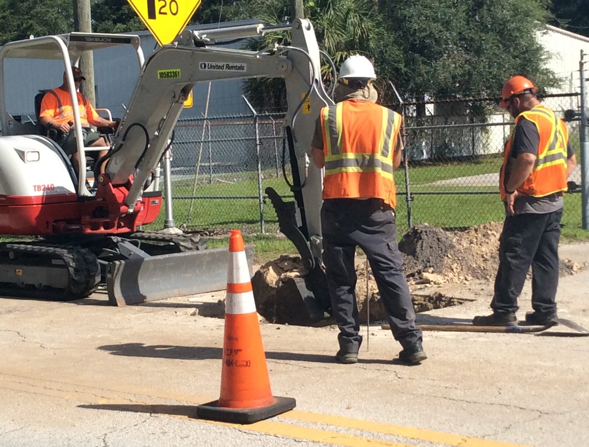
Public Works Department
The Public Works Department manages environmental, stormwater and transportation systems to provide a safe, sustainable and vibrant community for the people of Pinellas County.
Learn MoreInfo & Resources
Events
View All EventsCitizens Advisory Committee (CAC) Meeting
More information about Forward Pinellas Citizens Advisory Committee is available here: https://forwardpinellas.org/advisory-committees/citizens-advisory-council-cac/ Appeals: Certain public meetings result in actions taken by the public…
Forward Pinellas Planners Advisory Committee (PAC) Meeting
The Forward Pinellas Planners Advisory Committee meeting will be held in The Palm Room at 333 Chestnut Street, Clearwater, FL More information…
Forward Pinellas Board Meeting
The Forward Pinellas Board meeting will be held in The Palm Room at 333 Chestnut Street, Clearwater, FL Watch/listen to the meeting…
Pinellas Trail Security Task Force (PTSTF) Meeting
The PTSTF monitors and addresses issues related to safety on the Pinellas Trail. This committee includes law enforcement officials and county staff…
Projects
View All ProjectsSt. Pete-Clearwater Airport Terminal Improvement
The airport began design of a major terminal expansion project to accommodate the extraordinary growth over the last ten years. Over 2.4…
102nd Avenue N. Roadway Improvements
Project Overview Pinellas County proposes roadway, drainage and sidewalk improvements along 102nd Avenue N. in unincorporated Seminole. The project limits include a…
Ridgemoor Boulevard Bridge Replacement
Project Overview Pinellas County is partnering with the Florida Department of Transportation (FDOT) to replace the Ridgemoor Boulevard bridge serving the Ridgemoor…
East Lake Road Corridor
Note: This page consolidates multiple projects along the East Lake Road corridor that are in various stages of completion. Use the side navigation…
Programs
View All ProgramsMove Safe Pinellas
Move Safe, Pinellas is a Pinellas County initiative committed to enhancing bicyclist and pedestrian safety. The program’s core mission is to reduce…
Pavement Preservation & MSTU Road Paving Programs
Pavement Preservation Overview Pavement preservation is completed to protect the base material of our roads and minimize pavement issues, such as potholes…
ArtWorks – Graffiti Abatement Program
ArtWorks is a partnership between Creative Pinellas and Pinellas County Public Works to discourage graffiti and foster community beautification projects in Pinellas…
San Martin Blvd PD&E Study Trail Alternative 3 Hybrid Alignment Image
Diagram of the third trail alternative, hybrid alignment, for the San Martin Boulevard PD&E study. ...
San Martin Blvd PD&E Study Trail Alternative 2 East Alignment Image
Map of the trail alternative #2 for the San Martin Boulevard PD&E study. This alternative follows a right (east) alignment. ...
San Martin Blvd PD&E Study Trail Alternative 1 West Alignment Image
Rendering of the left (west) trail alignment option for the San Martin Boulevard over Riviera Bay PD&E study. ...
San Martin Blvd PD&E Study Right Shifted East Alternative Graphic
Rendering of the right-shifted (east) alternative bridge route for the San Martin Boulevard over Riviera Bay PD&E study. Graphic includes design and traffic notes, as well as height gradients. ...
San Martin Blvd PD&E Study Left Shifted West Alternative Graphic
Graphic of the left-shifted (west) bridge alternative for the San Martin Boulevard over Riviera Bay PD&E study. Graphic includes design and traffic notes, and height gradients. ...
San Martin Blvd PD&E Study Existing Conditions and Images
Documentation of the current obsolete conditions of the San Martin Boulevard bridge over Riviera Bay. Issues include narrow sidewalks and shoulders, lack of bike lanes, substandard railings and more. ...
San Martin Blvd PD&E Study Centered Alternative Graphic
Rendering of the centered route alternative for the San Martin Boulevard bridge over Riviera Bay. Rendering includes design and traffic notes, and vertical gradient measurements....
San Martin Blvd PD&E Study Bridge Typical Section Graphic
Rendering of a typical cross-section of the proposed bridge for San Martin Boulevard over Riviera Bay. Graphic includes measurements for sidewalks, bike lanes, traffic lanes and shared paths. ...
San Martin Blvd PD&E Study Bridge Renderings
An additional rendering of different perspectives of the centered bridge alignment option of the San Martin over Riviera Bay PD&E study. ...
San Martin Blvd PD&E Study Bridge Perspective Renderings
Renderings of different perspectives of the centered bridge alignment option of the San Martin Boulevard over Riviera Bay PD&E study. ...