Transportation Planning
Pinellas County is working to be on the forefront of transportation planning to create safe routes for commuters across the county and provide options for transportation.
 Featured Government Office
Public Works Department
The Public Works Department manages environmental, stormwater and transportation systems to provide a safe, sustainable and vibrant community for the people of Pinellas County.
Learn MoreInfo & Resources
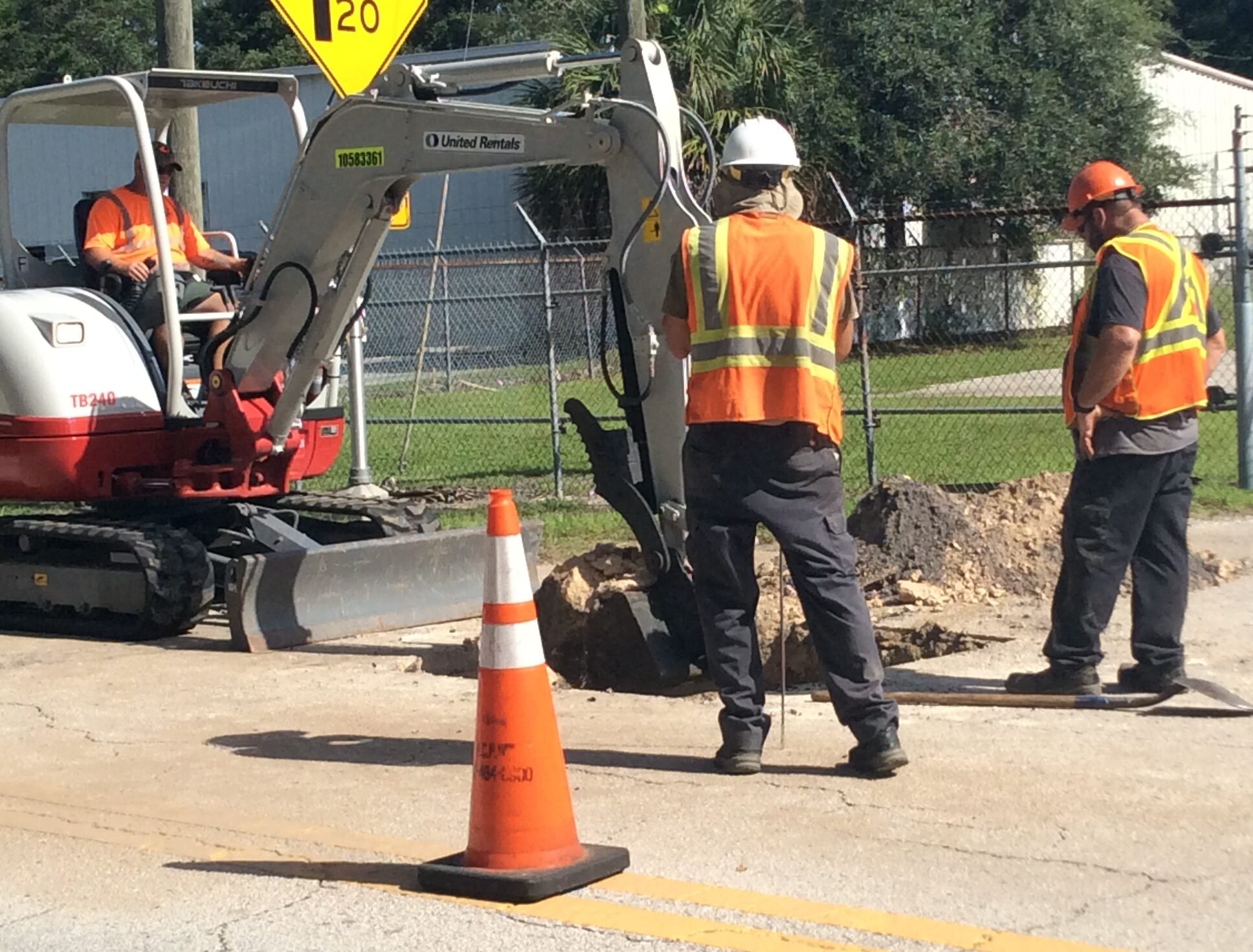
Ongoing Projects
- Ridgemoor Boulevard Bridge Replacement
- 102nd Avenue N. Roadway Improvements
- Nebraska Avenue Roadway Improvements
- Belcher Road at Gulf to Bay Boulevard (S.R. 60) Intersection Improvement Study
- San Martin Boulevard Bridge Replacement
- 13th Street/Sands Point Drive Bridge Replacement
- East Lake Road Corridor
Beckett Bridge Existing Conditions Material Machinery and Structure Images
Images showing the existing condition of the Beckett Bridge, including concrete and steel deterioration, machinery and structural issues....
Beckett Bridge Existing and Proposed Typical Section Graphics
Graphics showing the Beckett Bridge existing bridge width sections compared to the proposed widening section recommendations....
Beckett Bridge Detour Routes Map
Dpcument mapping the Beckett Bridge project detour routes that affect Whitcomb Boulevard, Meres Boulevard and the stretches of Klosterman Road to Carlton Road to Curlew Place to Florida Avenue. ...
Beckett Bridge Concept Recommended Alternative Movable Bridge
Map detailing the movable bridge concept alternative for the Beckett Bridge Project Development and Environmental Study....
Beckett Bridge Computer Simulations of Recommended Alternatives
Computer simulations showing the five recommended alternatives for the Beckett Bridge Project Development and Environmental Study compared to the existing structures....
Beckett Bridge Rehabilitation Alternative 3
Document detailing the Beckett Bridge Project Development and Environmental Study's third rehabilitation alternative....
Pinellas Trail Loop Construction Projects Map
Map displaying the various trail loops in Pinellas County, including past and future trail projects....
Permanent Population Projections by TAZ, CT, 2010-2035
Document providing 2010 U.S. Census figures for Pinellas County broken down by census tract, along with projections developed by the Pinellas County Planning Department....
Lealman Mobility & Complete Street Plan
March 2019 Linking Lealman Action Plan outlining an actionable plan of phased complete streets and mobility improvements for Lealman....
54th Avenue North Complete Streets Concept Plan
Linking Lealman Action Plan presentation from June 2018 identifying preferred complete street improvements along 54th Avenue N between 49th Street N (CR 611) and 34th Street N (US 19)....